Drones for Automated Dam Monitoring
Europe is home to over 1.2 million river barriers, including dams, weirs, and other structures, with more than 150,000 considered obsolete, significantly increasing safety risks due to aging infrastructure, according to Dam Removal Europe. These outdated barriers pose substantial threats to communities, ecosystems, and economic activities, especially when storms hit and flooding occurs.
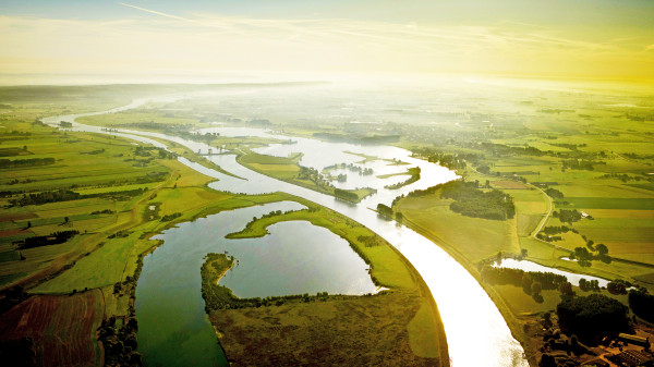
Flooding is the most significant natural hazard in the European Union (EU). It poses considerable risks to people, infrastructure, and assets, especially in cities. The EU Floods Directive (2007/60/EG), issued in October 2007, aims to reduce and manage flood risks, protecting human health, the environment, cultural heritage, and economic activities.
As urban areas grow and become more densely populated with valuable assets, the vulnerability to floods intensifies. Urban infrastructure, such as power supplies, communication networks, water systems, and transportation, is critical for economic continuity and rapid recovery after flood events. The interconnectedness of these systems makes them particularly susceptible to disruption, highlighting the urgent need for proactive flood #risk management.
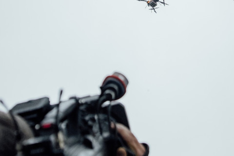
Drones are playing an increasingly vital role in monitoring and inspecting rivers and dams, enhancing efforts to mitigate flood risks. Equipped with high-resolution cameras, thermal sensors, and LiDAR technology, drones can quickly survey large areas, identify structural weaknesses, and assess damage following extreme weather events. They provide real-time data, allowing for early detection of issues like erosion, cracks, or blockages that could lead to dam failures or increased flood risk.
Drones also support the planning and execution of dam removal projects by offering precise mapping and monitoring capabilities. This technology enables more efficient inspections without the need for human entry into hazardous zones, reducing the risk to inspectors while providing valuable data that informs maintenance and restoration strategies. By integrating drones into river management practices, authorities can better protect communities, enhance environmental health, and support the sustainable management of Europe’s waterways.
By the way:
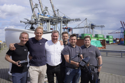
Automation increases the efficiency of drone inspection, mapping and monitoring. HHLA Sky’s Integrated Control Center automates drone operations and makes them scalable, enabling authorities to better provide aerial intelligence for acute disaster management and proactive civil protection.
To learn more about how this works, check out the HHLA Sky Integrated Control Center product page.
Get in Touch
If you like, tell us more about the challenges facing your authority or company. Please talk to your personal contact or email us at sky@hhla.de.